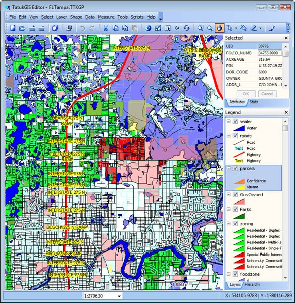
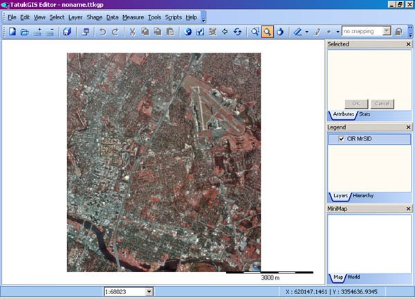
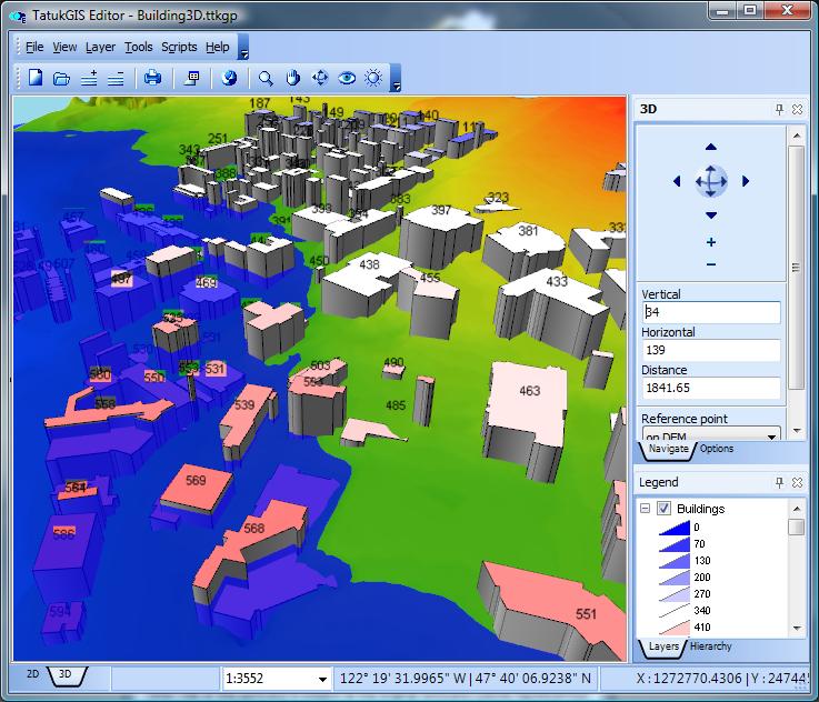
The TatukGIS Editor is a professional, general-purpose desktop GIS mapping and data editing application with built-in scripting environment for customization and feature extensions.
TatukGIS
Images
Check Software Images
Customer Reviews
TatukGIS Reviews
Danny V.
Advanced user of TatukGISWhat do you like best?
The Editor has a very high level of flexibility in handling data. Load, edit, export, import. All basic functions available.
Secondly the very long list of supported formats in raster and vector data. Also supported database formats and finally the supported webservices.
The build in Script Editor has access to the full TatukGIS DK Api. This makes it a very flexible and extendible application. The only limit is your fantasy...
The speed of the application is great and has left many GIS applications in speed behind.
The Editor is a very light weight and easy to learn GIS application which can be used in a big variety of customers.
The Editor can also be used as geo-batch processor, datamigration tool, usual maintenance of data and with the script environment even applications can be written where the Editor itself acts as a virtual machine.
The Editor can be used in combination with other GIS applications on the market. Again its flexibility plays a main role in this.
Finally the costs... Everybody an afford it. The price can not be an issue for a commercial company, nor for a customer.
What do you dislike?
Some parts of the GUI might be updated to some art of the state technology. A ribbon bar would be good.
However many things can be solved using the build in script editor.. It offers all elements to build your own GUI.
Recommendations to others considering the product:
For a light weight extendible and very affordable GIS I would definitely recommend TatukGIS.
What problems are you solving with the product? What benefits have you realized?
I have written a number of import routines and a number of data enrichment tools using the build in script editor. Furthermore a number of small applications build on top of the Editor.
Furthermore I have written a number of solutions using TatukGIS' DK.VCL. The Editor is used as administration tool for setting up projects, configuring layers and preparing data.


