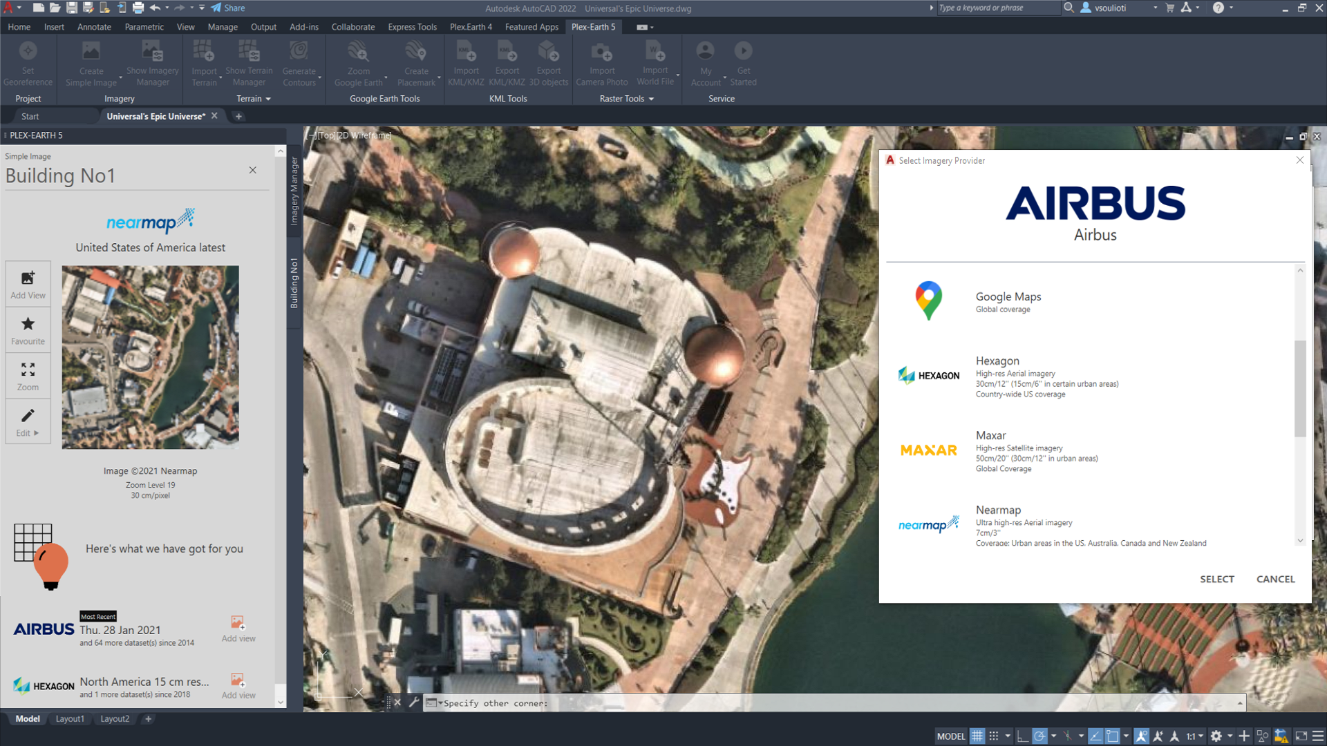
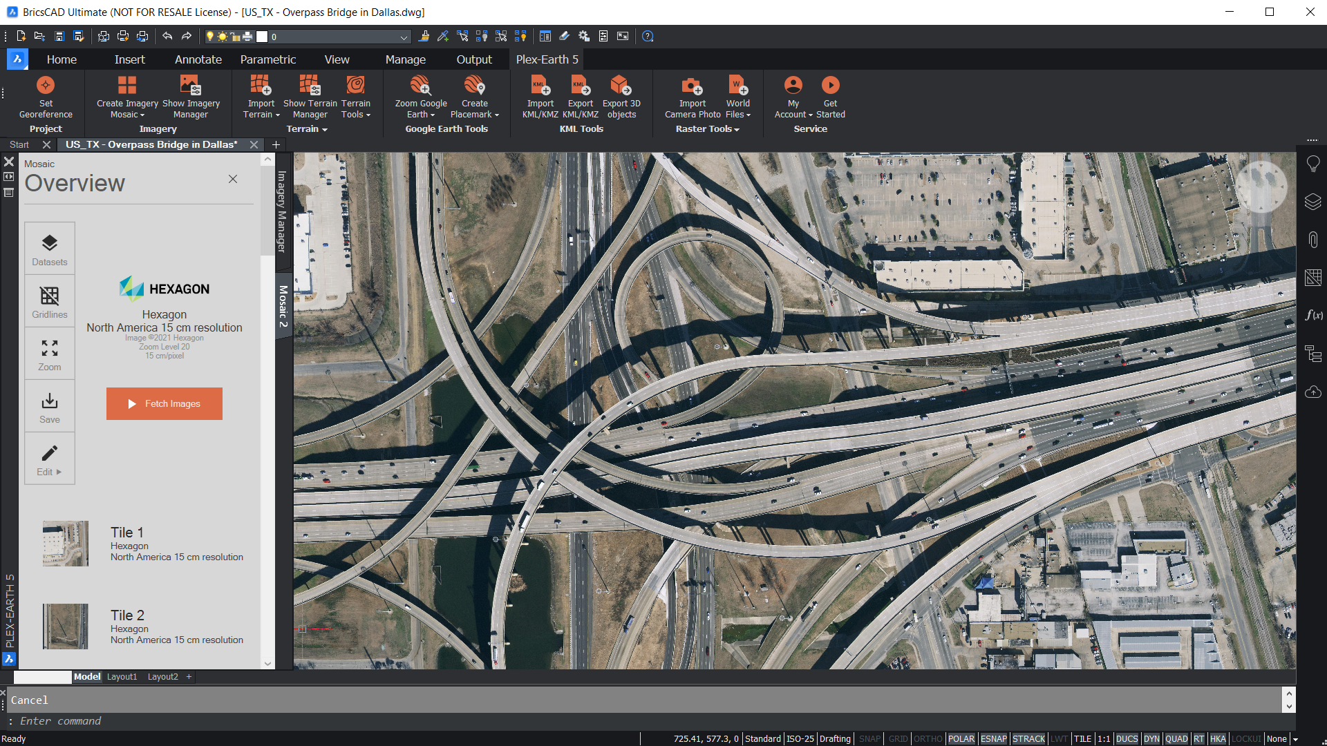
Plex-Earth is a full-blown platform that brings the world’s largest aerial and satellite imagery providers like Maxar, Airbus, Nearmap, Hexagon and Google Maps together under a single umbrella, to give engineers easy access to recent and historical high-quality imagery and terrain data right from within their CAD environment.
By also connecting AutoCAD and BricsCAD to Google Earth to facilitate 2D and 3D real-world visualization, AEC designers get a complete understanding of their project sites’ conditions from the very beginning of their workflow, speed up processes and avoid the high cost of rework by reducing errors.
Fully-functional free trial available at https://plexearth.com/free-trial.
Plexscape is an Autodesk Authorized Developer since 2010.


