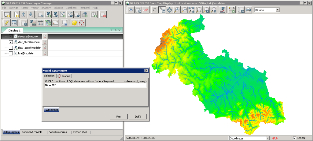
GRASS is an open-source GIS package that provides tools and programs that can be sued for data management, image processing, graphic production, spatial modelling, and visualization of GIS data.
GRASS
Images
Check Software Images

Customer Reviews
GRASS Reviews
Miriam W.
Advanced user of GRASSWhat do you like best?
As a civil engineer my favorite thing about grass is that it is found as a freeware and is quite easy to install and has great support with regards to using it.
For me, grass is a tool that is quite easy to use and does not require a lot off training although some people may argue that the learning curve is quite steep.
As a gis tool it has great features that I use for the analysis and also integrates exceptionally with other analysis tools.
I love also that I can use grass to convert my GPS data to CVS format or shape-files for use in other tools like arcgis.
Overall, grass is a very vital and crucial tool in my line of work.
What do you dislike?
While I mentioned its an easy tool to use the learning curve for most is quite steep and training anyone on its use is not the easiest thing to do.
Also while its a powerful tool it is not as powerful and advanced with regards to geo-database as the arcgis counterpart.
Recommendations to others considering the product:
I would very much recommend grass to anyone who feels they need a gis tool that is not demanding and that is simple to use.
What problems are you solving with the product? What benefits have you realized?
Grass is a great tool for GIS analysis and for planning projects. I love that it works with various file formats and is easy to handle, to implement and to use.
It also integrates and works exceptionally well with other tools and as such it is a very complete and reliable GIS analysis tool.


