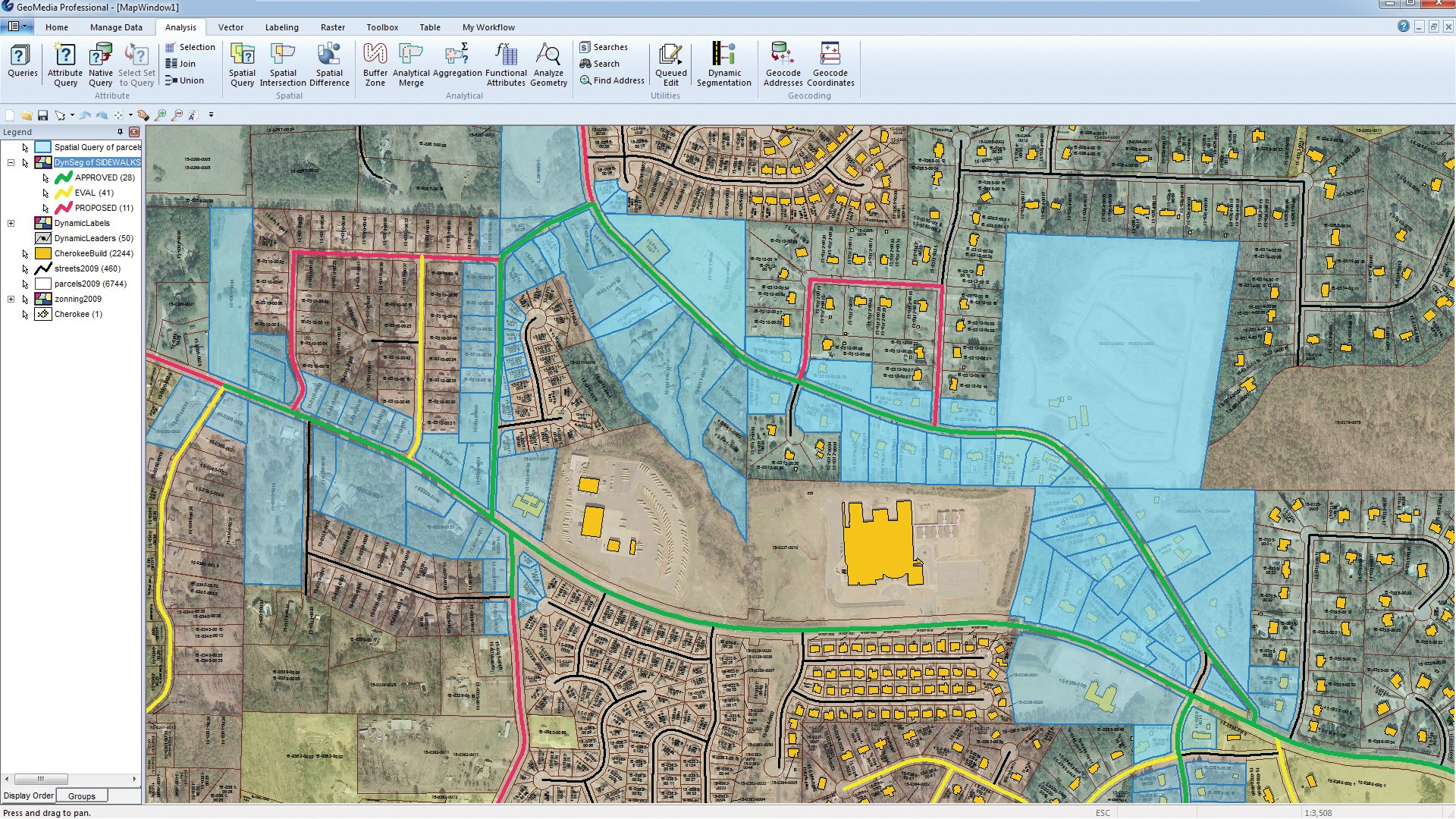
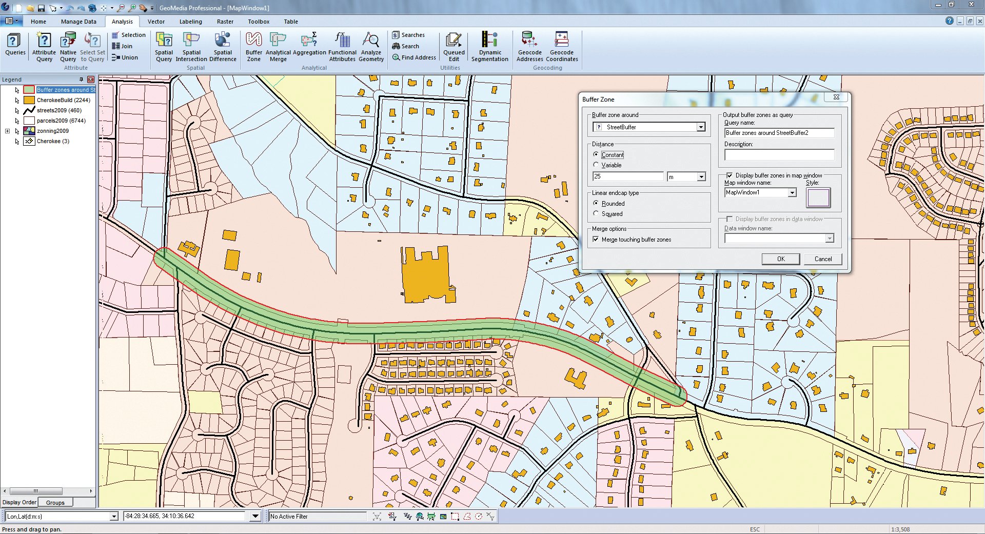
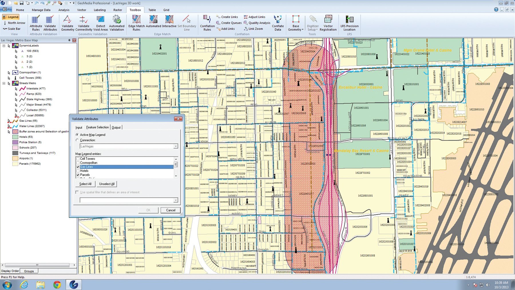
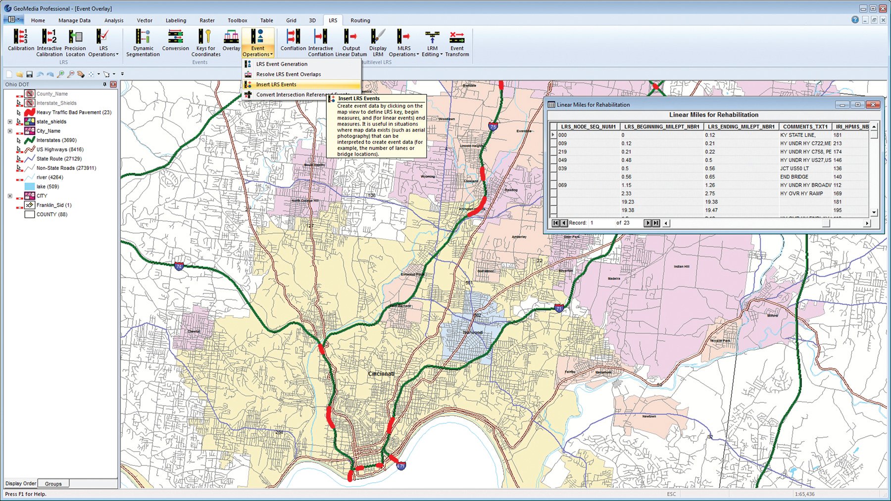
GeoMedia is a powerful, flexible GIS management platform that lets you aggregate data from a variety of sources and analyze them in unison to extract clear, actionable information. It provides simultaneous access to geospatial data in almost any form and displays it in a single unified map view for efficient processing, analysis, presentation, and sharing. GeoMedia’s functionality makes it ideal for extracting information from an array of dynamically changing data to support making informed, smarter decisions.
GeoMedia
Images
Check Software Images
Customer Reviews
GeoMedia Reviews
Jeannine A.
Advanced user of GeoMediaWhat do you like best?
The digitization process is really intuitive, and faster than other GIS softwares, because I can edit several layers at the same time just by choosing them, this feature really saves time when I am working with big datasets.
The power of his queries is limitless, it allows me to create dynamic spatial relationships between vector datasets, and make edits based on those results.
The dynamic labels are other of my favorite features, because it helps me to make decisions when creating geometric entities.
What do you dislike?
When I am working with big files, I can see how the software gets a bit slower or closes, so for me that is one of its disadvantages.
There is not enough documentations out there if I want to learn how to make better queries or more advanced ones, or information in general it is a software unknown to most people, and there is not enough resources online.
Recommendations to others considering the product:
I recommend it 100%, it is really ease to use.
I have co-workers that have not knowledge of GIS prior to using this software, and they were able to learn it at a fast speed.
And of all the software in the market it is my favorite when I have to digitize, edit, update, supervise vector data.
What problems are you solving with the product? What benefits have you realized?
The nature of dynamic queries is awesome, because it helps me to create vector relationships, to edit according with the results of those queries.
It is useful when we need to fix topology errors.
As someone that have to supervise datasets make by other people, the features that this software has to check the attribute tables for errors is massive.
Other of the things I found really helpful is that I can create automatic process to fill fields, updating information, making calculations, with the hability of SQL it gives me a lot of tools.


