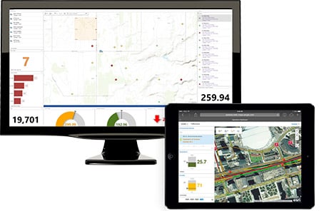
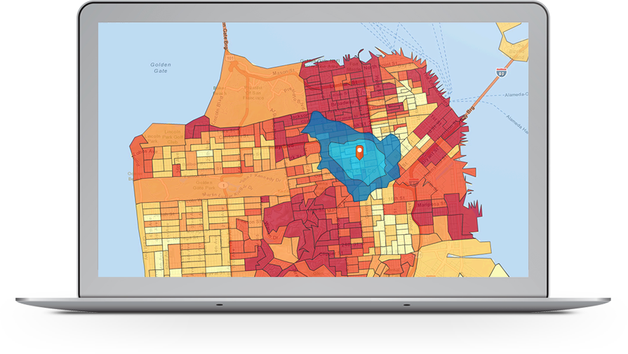
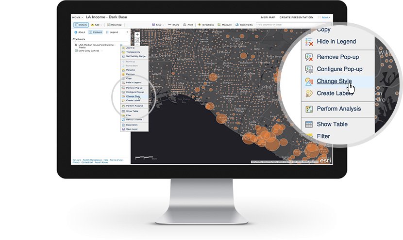
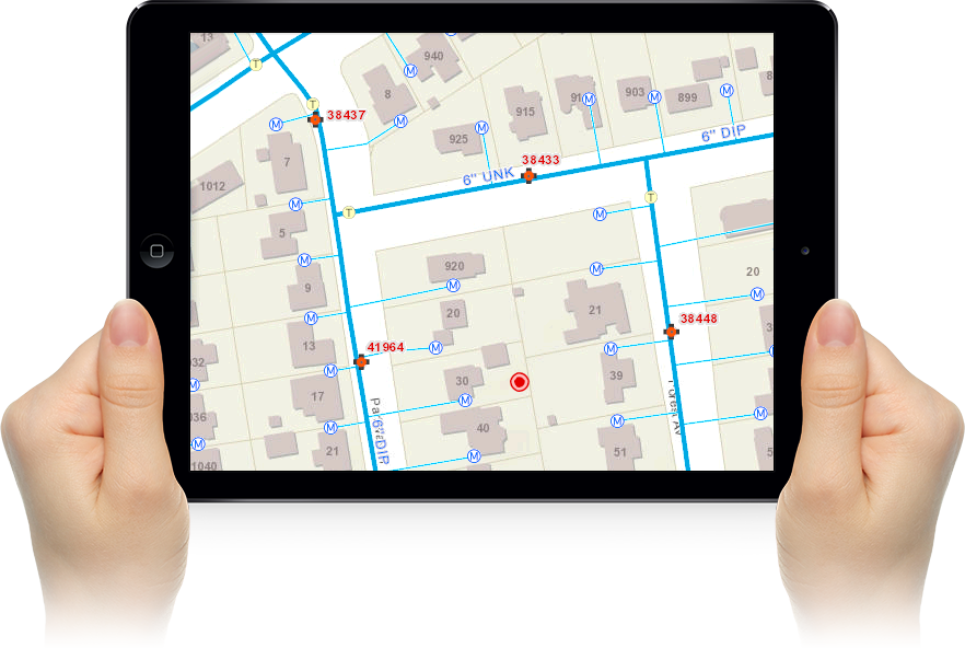
ArcGIS is a comprehensive suite of mapping and location intelligence tools and capabilities. ArcGIS can be deployed on local machines (ArcGIS Pro), on your remote or on-premises servers (ArcGIS Enterprise), or as SaaS hosted by Esri (ArcGIS Online). ArcGIS includes focused apps to deliver complete solutions for your business or organization. Along with software, Esri provides a comprehensive collection of data and content to geo-enrich your own data. ArcGIS also provides rich software development tools for you to configure and create your own mapping and location intelligence products.
Esri ArcGIS
Images
Check Software Images
Customer Reviews
Esri ArcGIS Reviews
Jorge A.
Advanced user of Esri ArcGISWhat do you like best?
with 22 years experience on ESRI GIS management, ArcInfo, Arcview and now ArcGIS the data management has become so easy, that for the new users all complications have disappeared, all taken cake, from projections to data availability, also the graphical interface have has been improving to such an extent that it is impossible to think about the previous versions, with the arrival of ArcGIS Pro it could mean an even greater evolution, being this software a worldwide standard, that is why regardless of the language of the end user, it provides a means of communication through maps.
What do you dislike?
I think of the biggest weakness I can perceive is the dependence on the internet, currently, with ArcGIS Pro, where ESRI is betting, leaving behind ArcGIS 10.8.1, a very risky move, that if it doesn't work well will leave a lot of room for the end user to choose new Open Source alternatives.
The other aspect of concern is the poor integration with CAD infrastructure and Sketchup, where ESRI loses prominence in the professional technical field, as well as the total abandonment of the 3D capability.
The fact of the use of cloud data, could also be a confidentiality issue, which is one of the factors why I chose 9 out of 10 for the probability to recommend ESRI as a spatial data management infrastructure.
Recommendations to others considering the product:
on my side, the option to kill ArcGIS and continue with ArcGIS Pro, its major setback, I hope for the best. and I'm requesting an second look on this decision, for the most ancient ESRI users.
What problems are you solving with the product? What benefits have you realized?
Projections, database merge, remote sensing from imagery, logistical models and prospection models, time efficiency and homologation that is crucial on most international databases.


