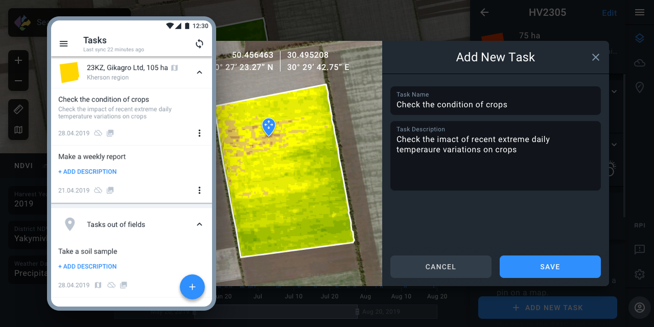
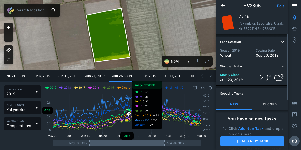
EOS Crop Monitoring is an advanced cloud-based solution for a comprehensive analysis of agricultural areas with satellite data. It provides access to space images of Earth, identifying crop types as well as their state via vegetation indices.
The platform allows extracting valuable insights from remote sensing data, e.g., crop types classification maps, crop yield forecasts, field boundaries, vegetation indices, crop conditions, soil moisture and weather data on a field, regional or country scale.
EOS Crop Monitoring


