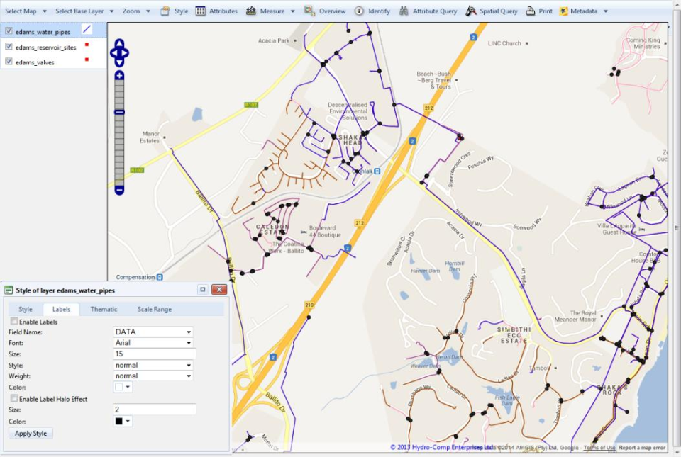
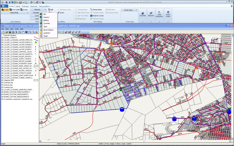
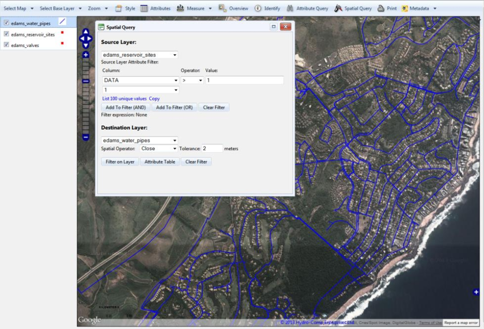
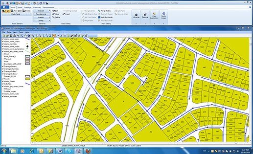
The EDAMS Network Data Management system constitutes the main asset register for the Utility networks. It provides a network geographical database with proper functionality for the capturing, structuring, maintenance and management of the graphical data. The main purpose of monitoring and control is to supply information for (a) Maintenance management, (b) Water Quality Management, (c) Distribution/ NRW Management and (d) Planning – Demand Analysis
EDAMS GIS
The EDAMS range of management systems covers the commercial, technical, and planning functions of the utility, and seamlessly integrates with SCADA, GIS and ERP to provide a coherent enterprise system solution for the modern utility.
7.0/10
(Expert Score)
★★★★★
Product is rated as #90 in category GIS Software
Images
Check Software Images
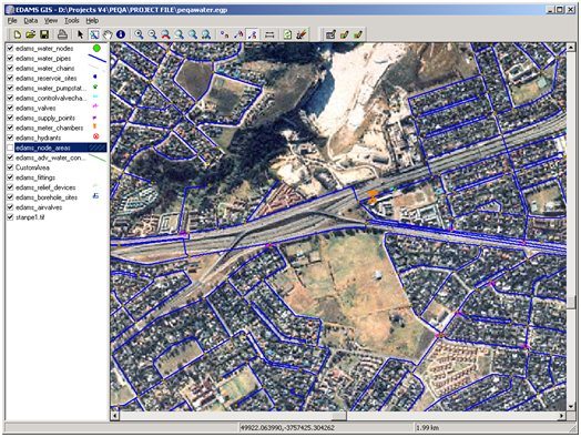
EDAMS GIS
Customer Reviews
EDAMS GIS Reviews
User in Financial Services
Advanced user of EDAMS GIS★★★★★
What do you like best?
The product is nice. It has a good user interface and has many functionalities as well as customization options.
What do you dislike?
The product is fair however; the ease of use is not the best. The setup process is especially¬¬¬ bad and it is not easy to set up at all.
What problems are you solving with the product? What benefits have you realized?
It is being used in the IT department for many tasks such as user support, user monitoring and syncing.


