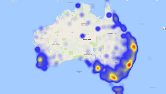
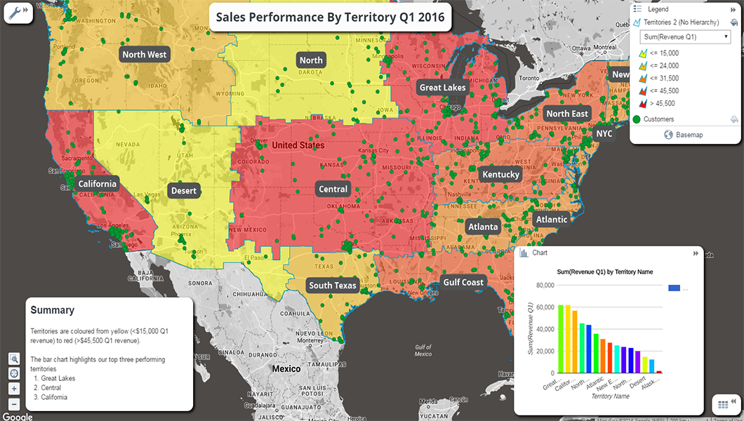
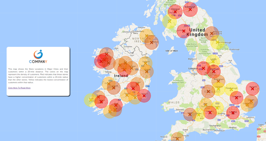
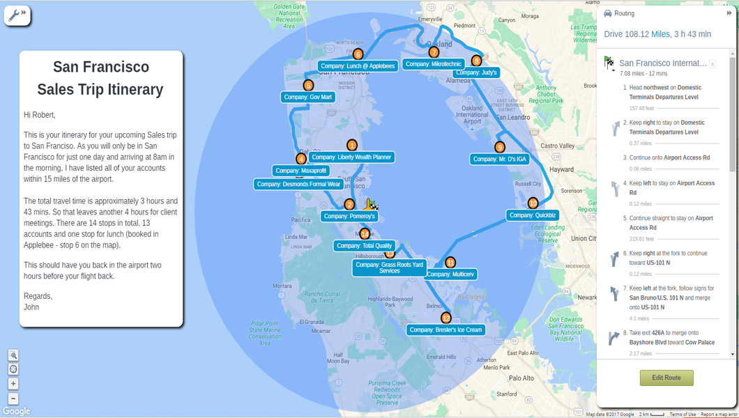
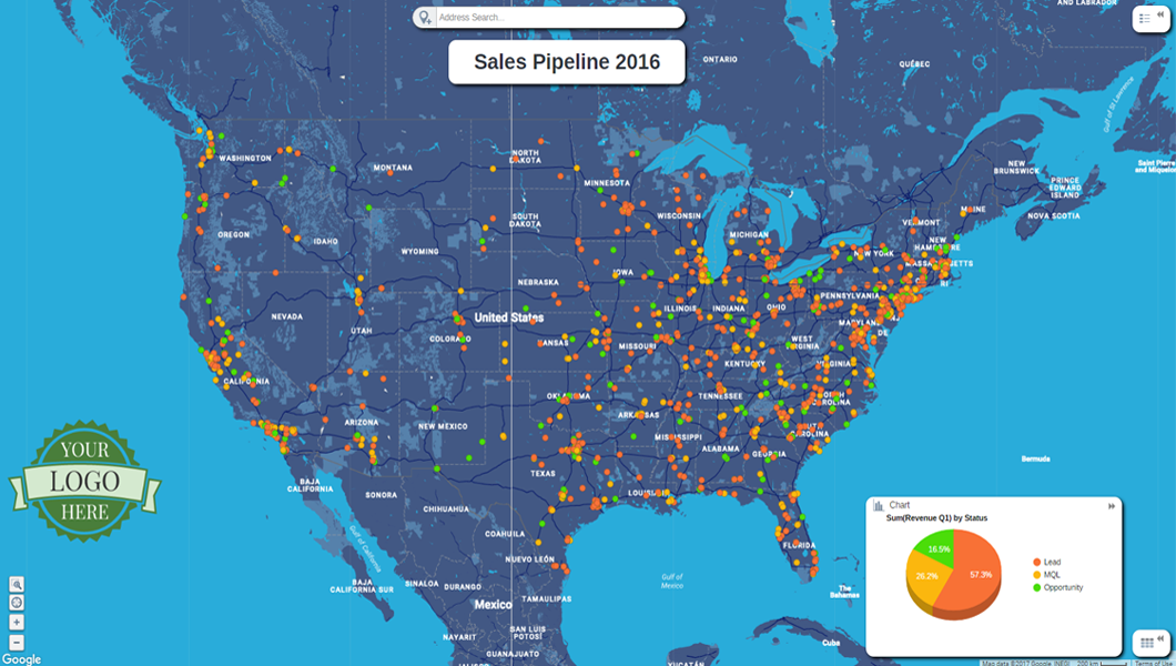
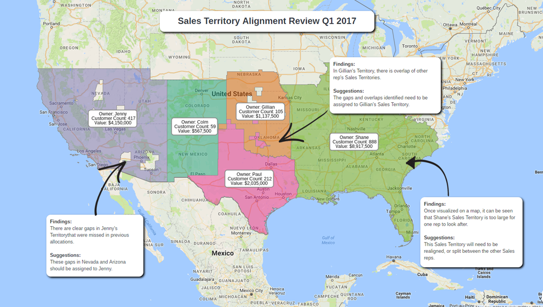
eSpatial is cloud-based mapping software that is engineered for the enterprise and designed for the user. We believe mapping should be fast, easy and powerful. With our mapping software, you can easily upload, visualize, and analyze multiple layers of data. It’s rapid visual insight that takes the guesswork out of decision making.
We are mapping experts and have been delivering geographic solutions for over twenty years. Trusted by our customers and partners from Fortune 500 companies to non-profit organizations that span nearly every industry, we are committed to helping our users reach their mapping goals.
eSpatial has a comprehensive set of features that enables you to visualize, analyze and share your business data currently stored in spreadsheets, CRM or ERP systems.
Bruce T.
Advanced user of eSpatial
★★★★★
Use your data for easy to create maps
What do you like best?
You can easily create maps from your Salesforce reports, add layers from spreadsheets, and update maps automatically daily. Very intuitive and easy to use.
What do you dislike?
Some of the color selections for pins on the map are hard to define.
If you are making maps that update daily from Salesforce, if a new attribute that is defined on the map by a pin is introduced in the data, you have to manually refresh the data set in espatial to get that data point on the map.
What problems are you solving with the product? What benefits have you realized?
Benefits to our sales team in meetings with customers. Benefits to our operations team in staffing, and redistricting.
Review source: G2.com


