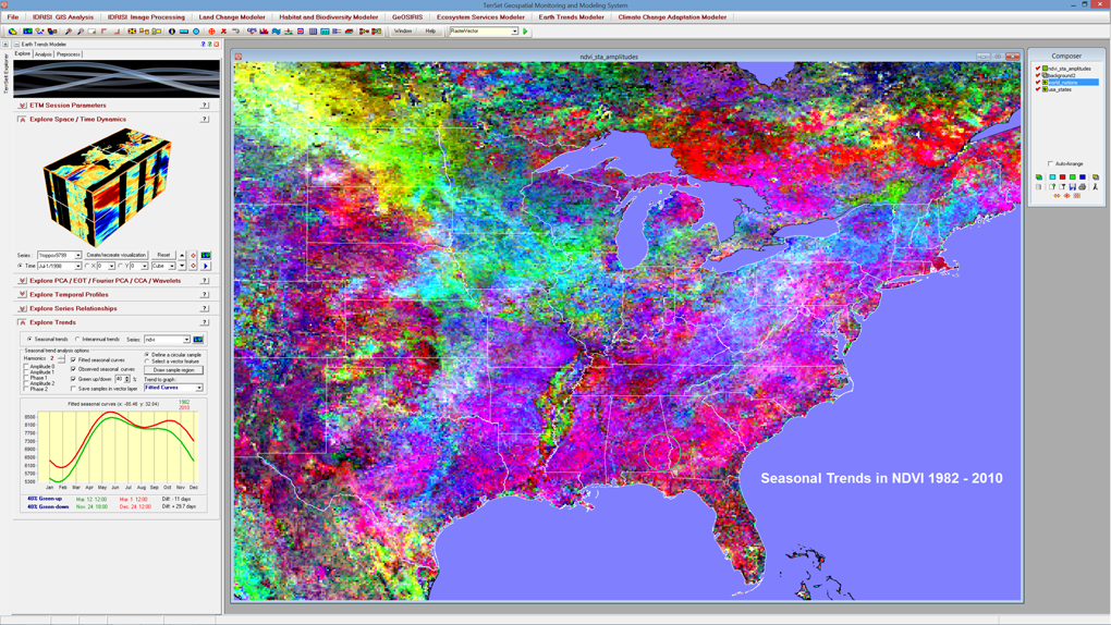
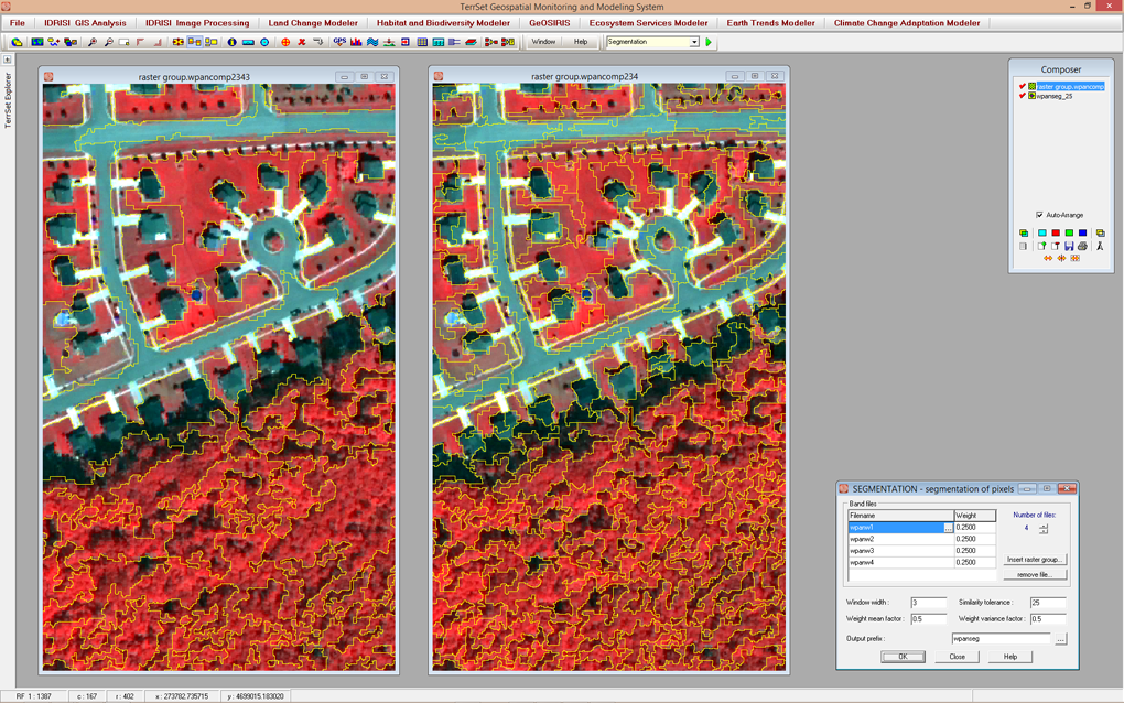
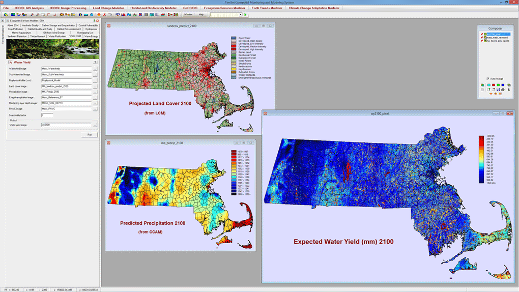
The TerrSet system incorporates the IDRISI GIS Analysis and IDRISI Image Processing tools along with a constellation of vertical applications.
TerrSet
Images
Check Software Images


Customer Reviews
TerrSet Reviews
Mansi G.
Advanced user of TerrSetWhat do you like best?
Range of tools.
Step-wise helps with references.
What do you dislike?
Lack of customisability of the map outputs.
Recommendations to others considering the product:
Without having the knowledge of a GIS analyst/specialist, I found the program to be intellectually stimulating while giving all the help needed to perform the analysis. The help section built in the program tells everything you need to know to understand the models with references. I didn't take the help guide lightly because I was brain storming alone in my project and did not have access to any GIS specialist. The help section indeed save my dissertation. Although I did not face any technical/academic difficulties, I only reached to the team when I needed some help in installing my software and the response to my mail was lightening fast. I recommend Terrset to my colleagues and I implore you to give Terrset a chance too!
What problems are you solving with the product? What benefits have you realized?
I bought a student license to complete my Masters (Wildlife Science) dissertation analysis of wildlife corridors using Land Change Modeler tool. It helped me realise how powerful and data inexpensive the tool is to identify wildlife corridor pinches which can be used to direct the survey efforts to increase feasibility for conservation.


