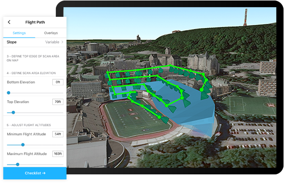
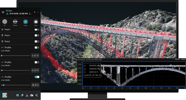
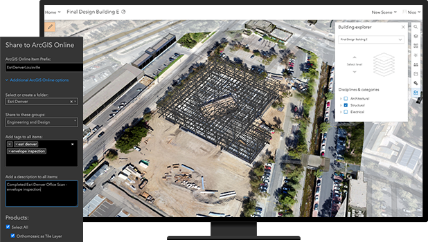
Site Scan for ArcGIS is the end-to-end cloud-based drone mapping software designed to revolutionize imagery collection, processing and analysis. Maintain a complete picture of your drone inventory and flight history with automatic fleet management. Stay up-to-date with accurate imagery when needed with repeatable flight plans that ensure high quality data capture when flying your drones. Securely process imagery in a scalable cloud environment to create high-quality 2D and 3D imagery products that can be quickly shared throughout your organization on any device. Save time by using the measurement and analysis tools to get the answers you need from your data.
Site Scan for ArcGIS
Site Scan for ArcGIS is the end-to-end cloud-based drone mapping software designed to revolutionize imagery collection, processing and analysis.
9.0/10
(Expert Score)
★★★★★
Product is rated as #19 in category Autodesk BIM 360 Integration Partners Software
Images
Check Software Images


Site Scan for ArcGIS
Customer Reviews
Site Scan for ArcGIS Reviews
Shawna O.
Advanced user of Site Scan for ArcGIS★★★★★
What do you like best?
I like that they are always reliable and very helpful. Our company has never been ran so smoothly and even I can use this software.
What do you dislike?
I don't dislike anything about this software so far.
What problems are you solving with the product? What benefits have you realized?
I am solving schedules and payroll problems with this program.


