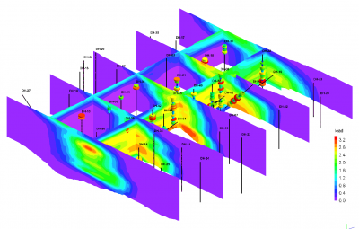
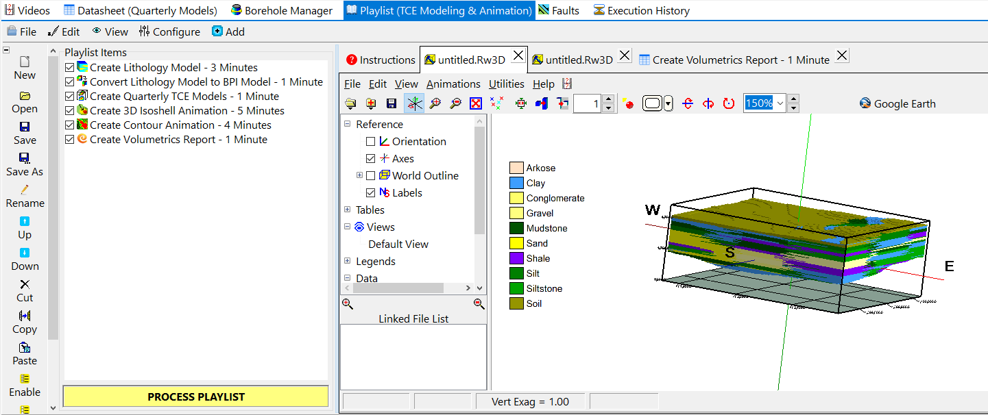
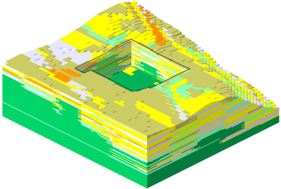
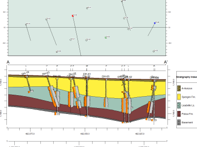
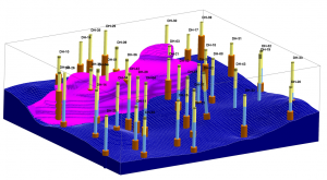
RockWorks is the standard in the petroleum, environmental, geotechnical and mining industries for surface and subsurface data visualization, with popular tools such as maps, logs, cross sections, fence diagrams, solid models and volume calculations.
RockWorks offers numerous options for analyzing your surface and subsurface data, and accepts many different data types, such as stratigraphy, lithology, downhole geochemistry / geophysics / geotechnical measurements, color intervals, fractures, and aquifer data.
Display RockWorks graphic output in its built-in 2D and 3D viewing/editing windows, or export to CAD, Google Earth, and other GIS programs. Use the ReportWorks module to create page layouts for reports and posters.
RockWorks is offered with three feature levels so you can buy just the program tools you need:
– Basic: All Utilities programs, plus Borehole Manager maps, logs, log sections. 5 items per playlist, 3 faults.
– Standard: All Basic level tools, plus Borehole Manager modeling: lithology, stratigraphy, geophysical/geochemical/geotechnical, aquifers, colors, fractures. 5 items per playlist, 3 faults.
– Advanced: All Standard level tools, plus SQL-server database support, program automation (scripting), Borehole Manager petroleum production diagrams. Unlimited items per playlist, unlimited faults.


