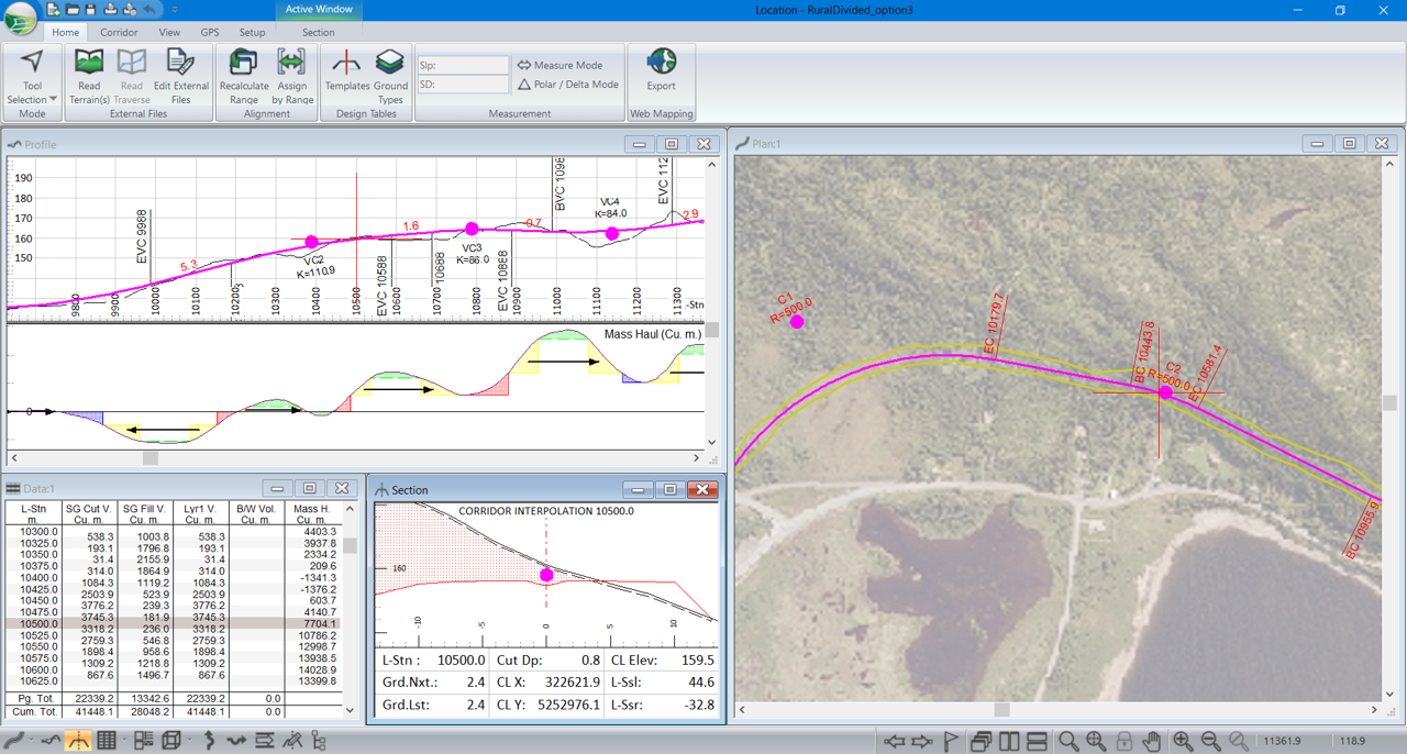
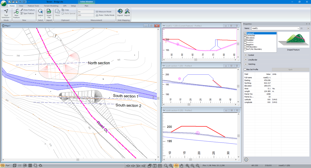
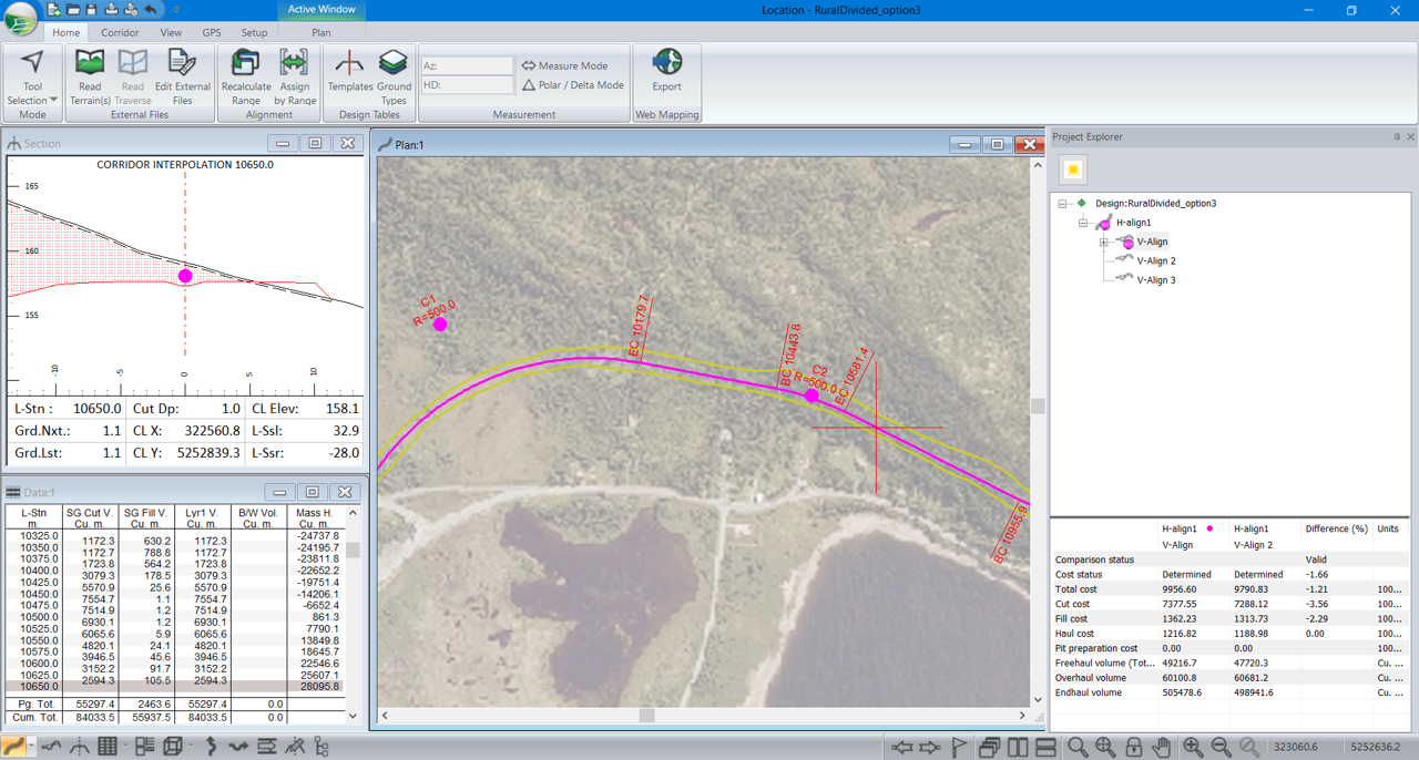
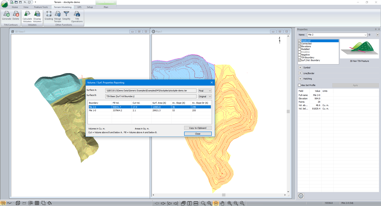
RoadEngВ® is a completely different approach to road design – with an easy-to-use interface and real-time interactivity. It can add speed and power to your next corridor design project.
– Rural Road & Highway Design
– Rail & Pipeline Corridor Projects
– Forest & Resource Road Design
– Stream Reconstruction
Benefits & Features:
> Interactive corridor design for road, rail, and pipeline projects.
> Design culverts, bridge sites, and more.
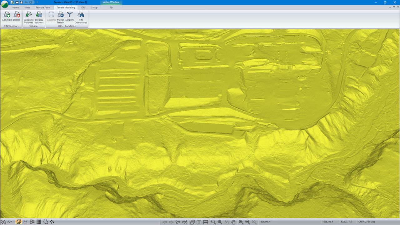
> Work with a wide variety of survey data formats: total station, drone, LiDAR and more…
> Including up to 10 million LiDAR pts
> Create 3D terrain surfaces and contours.
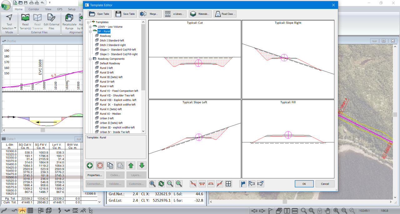
> Control your typical cross-sections (ie. sub-assemblies) easily.
> Design vertical and horizontal curves compliant with TAC or AASHTO standards, or import your own local government standards.
> Calculate quantities, movement schedule, and earthwork costs as you design.


