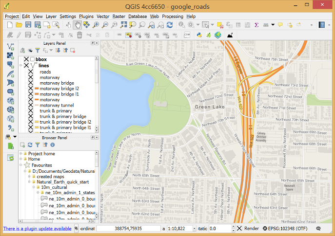
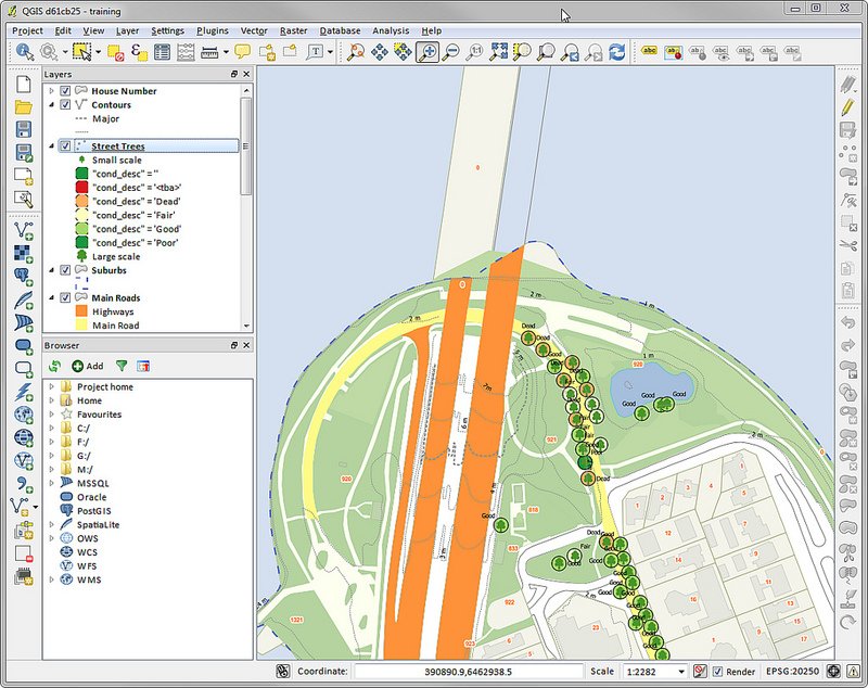
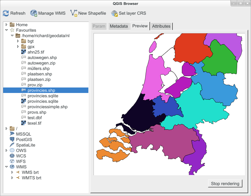
QGIS is a open source GIS tool that provides capabilities and tools to help you visualize, manage, edit, analyze data and compose printable maps.
QGIS
Images
Check Software Images


Customer Reviews
QGIS Reviews
Michael M.
Advanced user of QGISWhat do you like best?
QGIS is my opinion, one of the best free and open-source GIS software that I have ever come across. QGIS is under active development and updated on a consistent basis.
Compared to the proprietary GIS software QGIS compares very well and surpasses most of them.
QGIS has a number of plugins that extend the functionality of its use, such as the Semi-Automatic Classification plugin that allows for automatic classification of remote sensing images.
What do you dislike?
One thing that I find a bit annoying is the updating procedure for QGIS, where one has to download the entire setup and install it offline.
If they could implement an online update that that would really make the updating process a little less inconvenient.
The QGIS version that is available for Linux OS is usually a bit behind such that one for Windows. Whereas certain aspects work well on Windows, they don't work on Linux.
Recommendations to others considering the product:
QGIS is a recommendable software for GIS and Remote Sensing applications and research.
What problems are you solving with the product? What benefits have you realized?
We use QGIS mainly for handling the mapping of spatial data.
Developing mapping solutions for our clients.
We also use QGIS for research purposes in the areas of GIS and Remote Sensing.
We also use QGIS for the training of our clients


