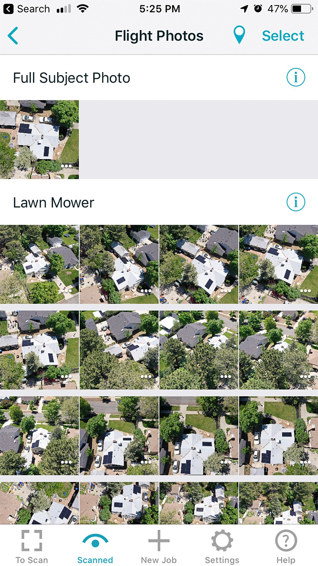
IMGING helps you gather and analyze property information by turning a drone and your mobile device into an advanced inspection toolkit. It automates drone-based image capture, organizes ground and aerial photos, provides measurements, and aids data analysis with AI and deep learning tools simple enough for anyone to use.
IMGING


