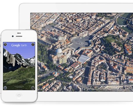
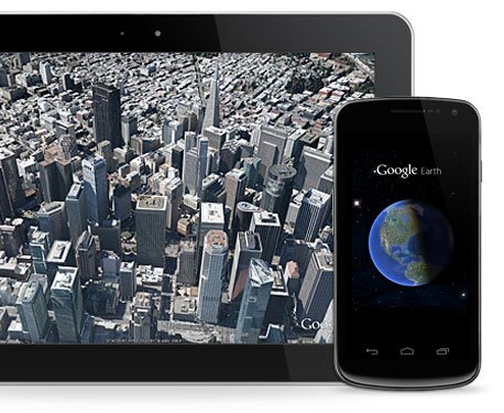
Get advanced business tools in addition to all the easy-to-use features and imagery of Google Earth.
Google Earth Pro
Images
Check Software Images


Customer Reviews
Google Earth Pro Reviews
Eber C.
Advanced user of Google Earth ProWhat do you like best?
I love kml and kmz capabilities, since they allow you to import or export your data in a very lightweight fashion. The measuring and drawing tools are good too. The possibility of creating or modifying your maps with the aid of all that google information is priceless. I also appreciate that you can tailor the information your map has to your needs.
What do you dislike?
Honestly, the user interface feels a bit outdated. It also affects the way you can export or print your maps. The icons or pins that come with the program are also old-fashioned. get a good looking map can be really difficult sometimes. On the other hand, I have not been able to find a way to use the vectorial raster instead of the aerial images. That's why I do most of my prsentation maps, or data maps, on Power BI. Finally, I find a bit difficult to keep control of all my layers when there are plenty of them.
Recommendations to others considering the product:
It might not be the most friendly software out there, but it will do the job. You will also benefit from all the information Google has to offer in the maps department.
What problems are you solving with the product? What benefits have you realized?
We have almost 2.000 teams all across the country. Each of them has an assigned territory. Since we store those polygons and dots in KML, We use Google Earth Pro to modify those files. We also organize field campaigns using Google Earth Pro. Our organization's software is designed to work along with Google Earth Pro and can combine data and coordinates to show it all on a map. We also use it to visualize our field personnel, measure distances and make decisions based on that.


