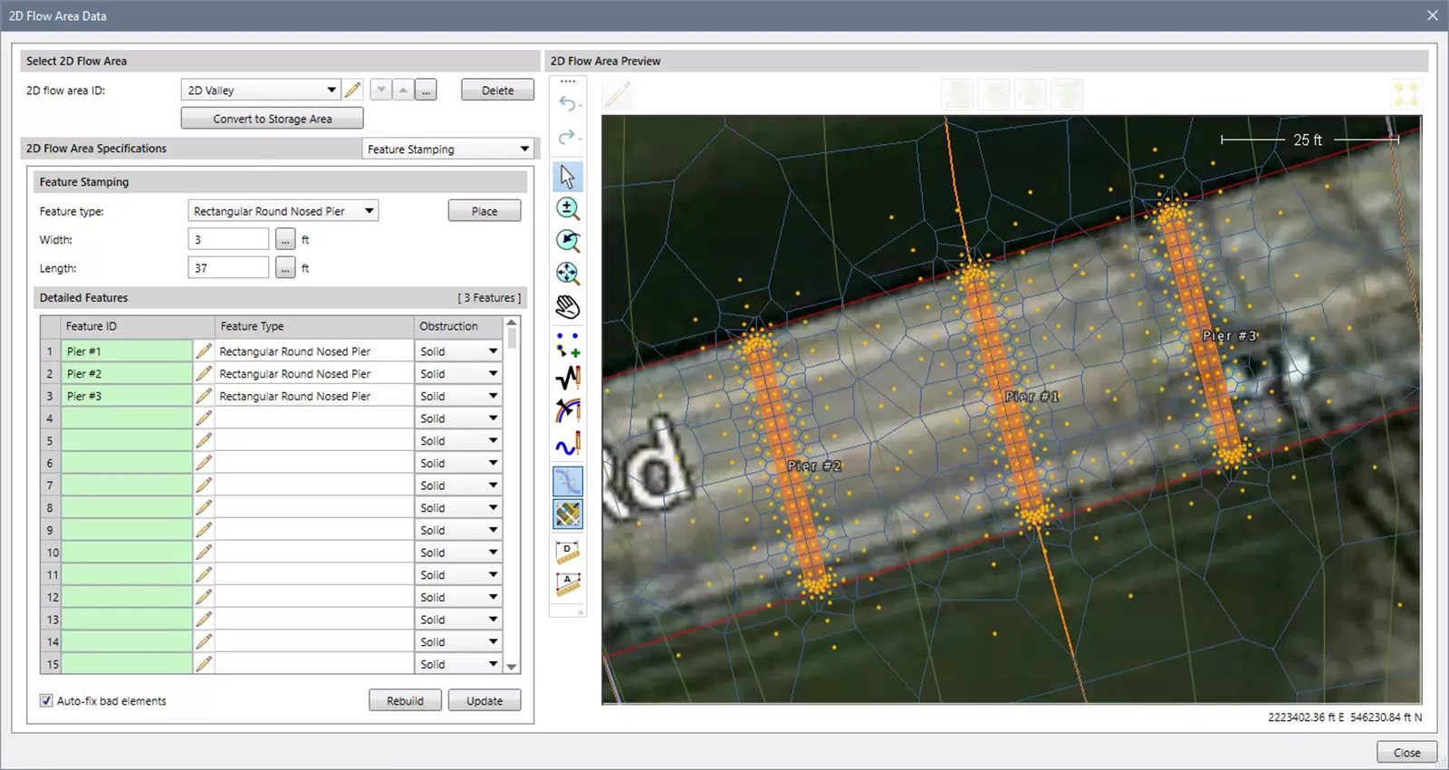
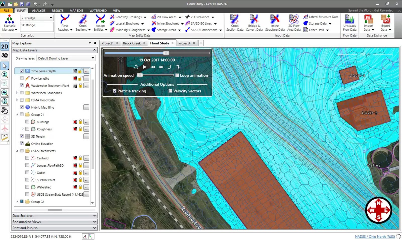
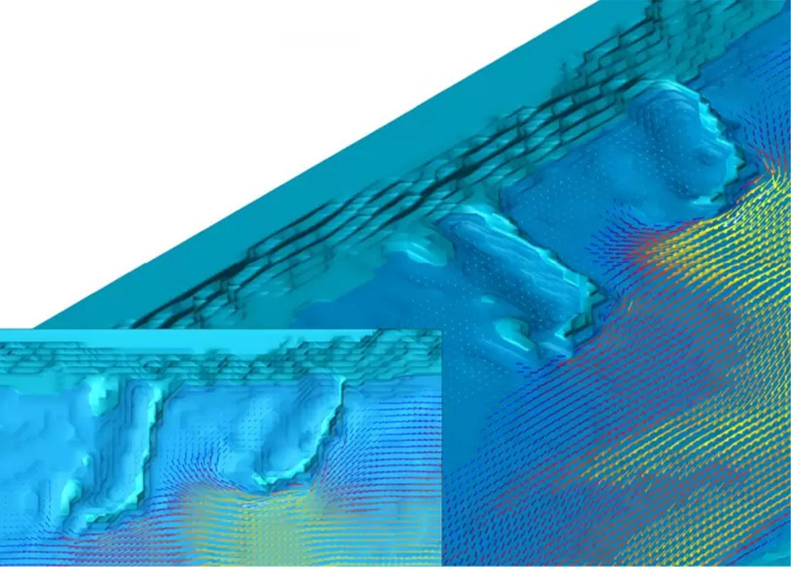
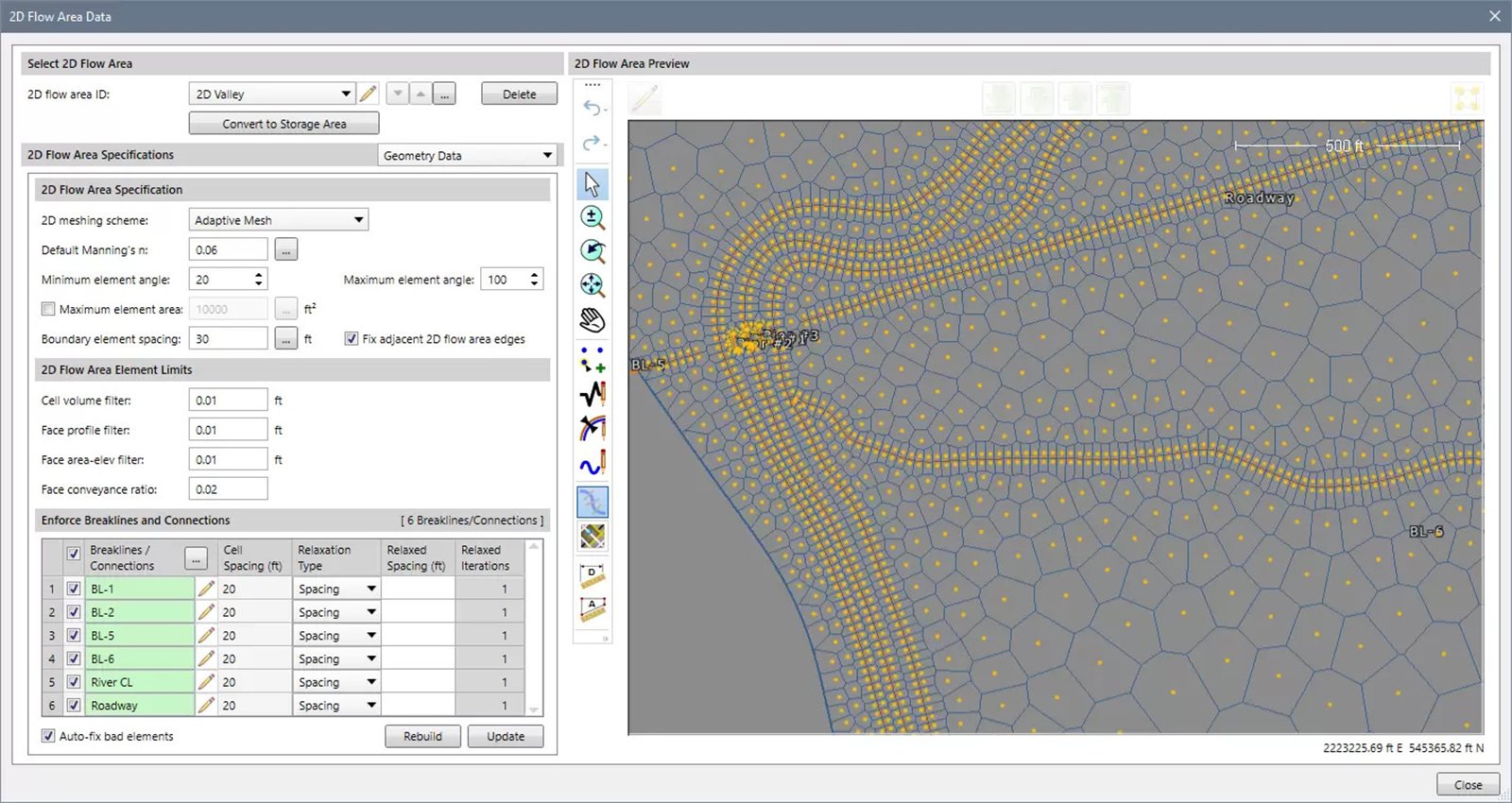
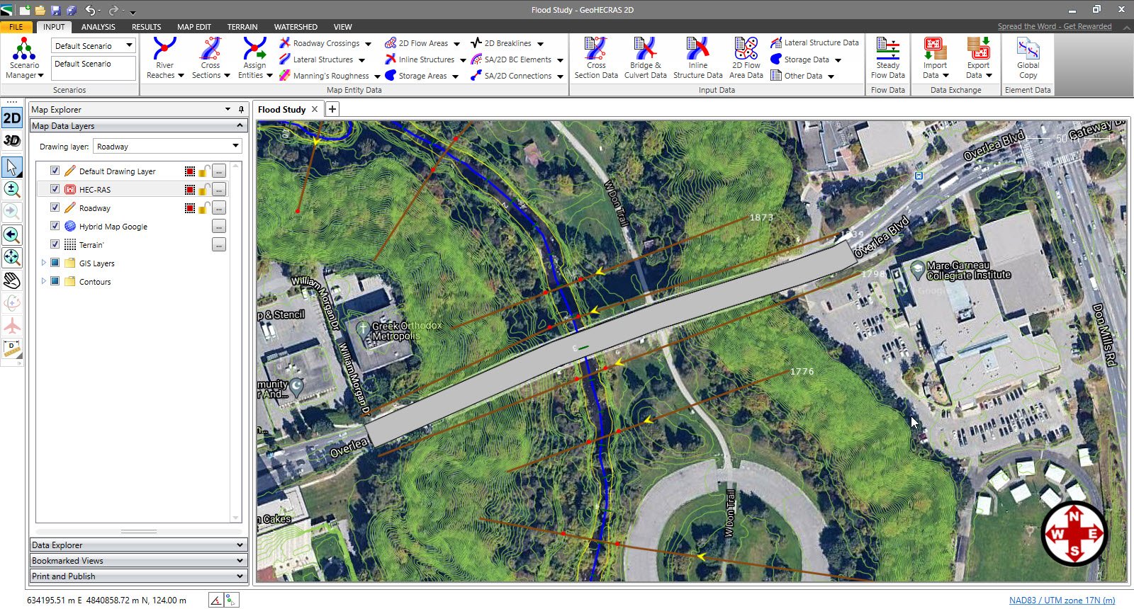
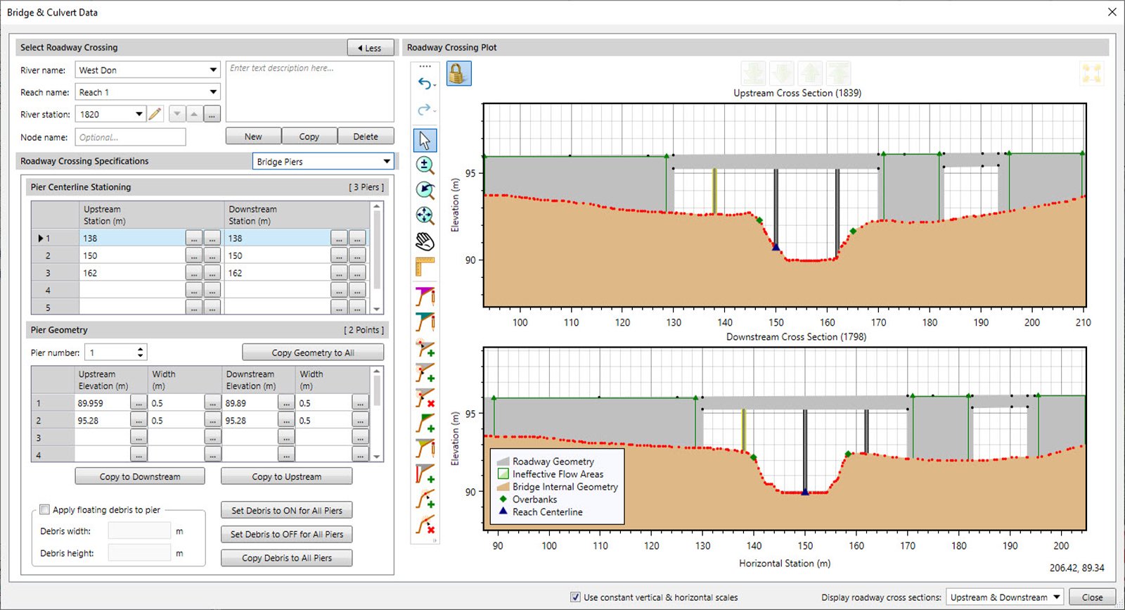
GeoHECRAS is a river modeling software used to compute water surface profiles for steady and unsteady flow models, bridge and culvert roadway crossings, FEMA floodplain encroachments, stream restorations, inline reservoir structures, off-channel storage areas, and much more. GeoHECRAS provides an easy-to-use, single graphical platform to rapidly create stunning HEC-RAS models and 3D visualizations from a variety of different data sources like AutoCAD, MicroStation, ArcGIS, Google Maps, Bing Maps, and more.
GeoHECRAS
Images
Check Software Images
Customer Reviews
GeoHECRAS Reviews
Deveshan G.
Advanced user of GeoHECRASWhat do you like best?
Extremely user friendly and simple to use. End results are on point and easy to make sense of in a great formats.
The support team are ever ready to help and assist at all times.
What do you dislike?
There is nothing to be considered as a downside to GeoHECRAS in my experience thus far.
Recommendations to others considering the product:
GeoHECRAS is a game-changer. If the type of work being undetaken can be completed on GeoHECRAS, it is definitely the software to use. Easy and simple to use, with loads of help and support should you get stuck or need some guidance.
I definitely recommend GeoHECRAS.
What problems are you solving with the product? What benefits have you realized?
Flood line and flood water level analyses for proposed developments and roadway crossings, sizing stormwater infrastructure (bridges and culverts etc.)


