BatchGeo is the easiest way to get your list of addresses on a map. Since 2006 BatchGeo has hosted millions of maps for Fortune 50 companies, non-profits, and individuals.
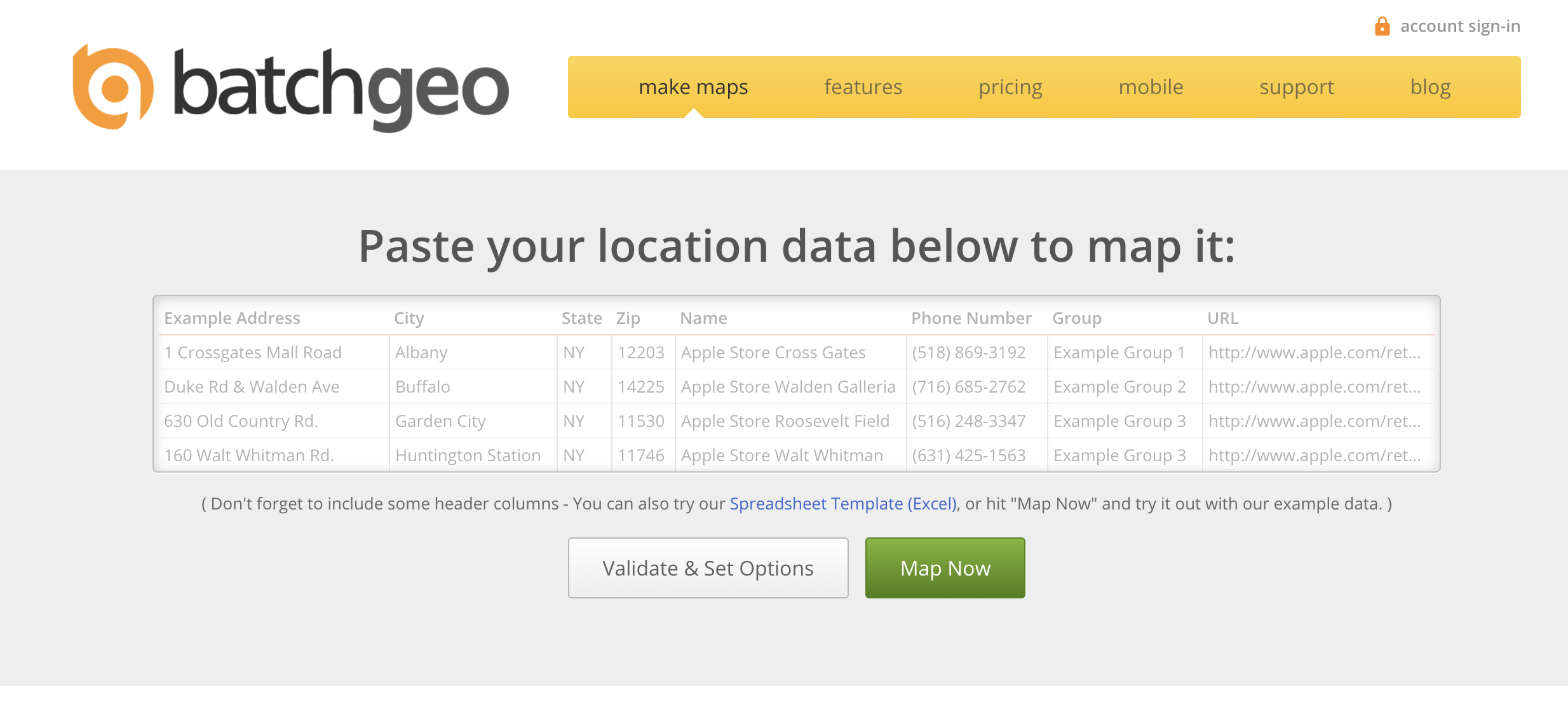
The idea behind BatchGeo is most geographic data is stored in some sort of spreadsheet, list, or simple table (ex: Excel, CSV, Google Spreadsheets, etc.) So its optimized for those formats, making it super easy to drag in or copy/paste your tabular data into a map.
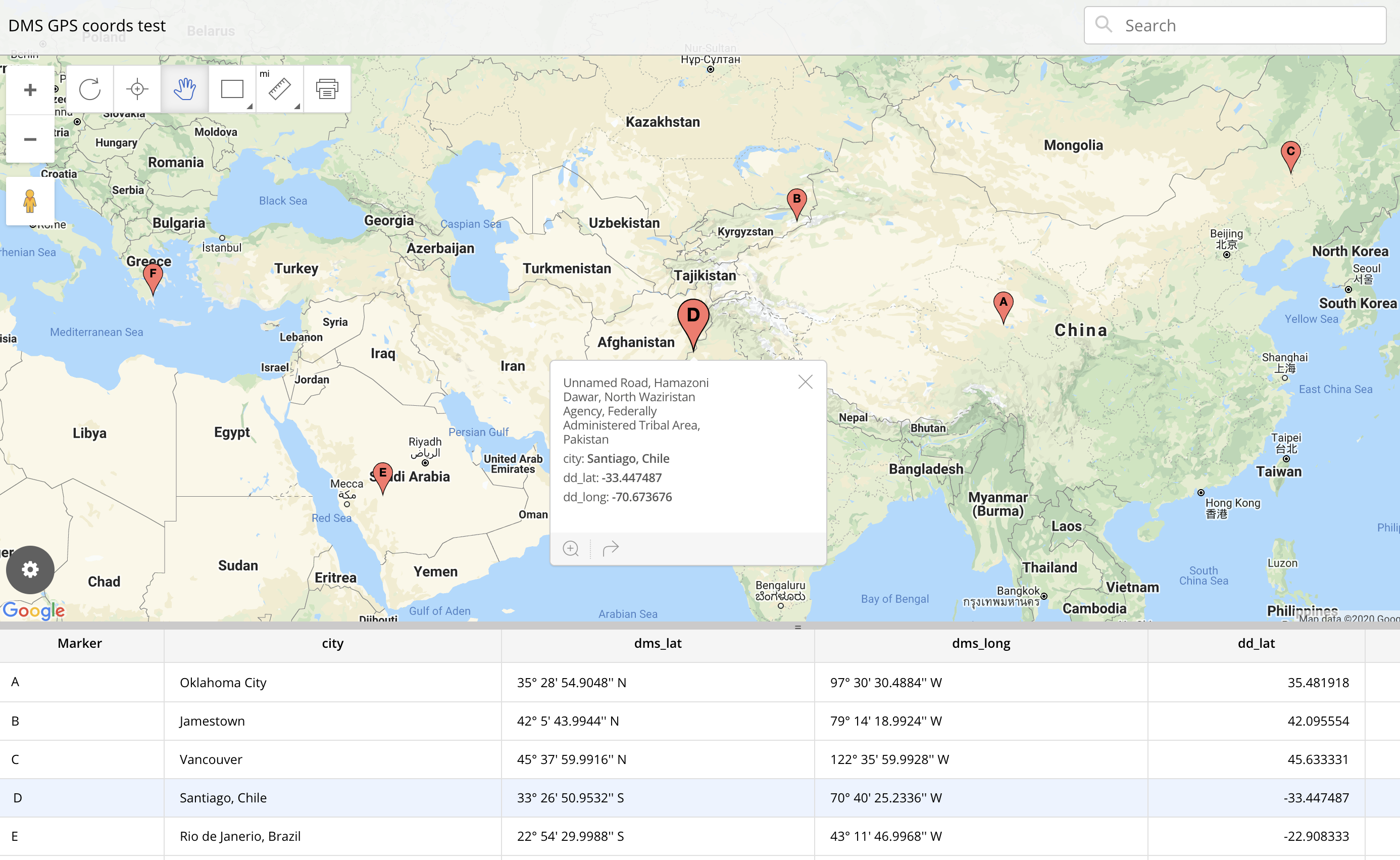
Once your data is mapped the real fun begins. Your data points are spread out on an easy to navigate Google Map. Data can be color coded by groups or ranges, or even heat mapped.
If routing is what you are interested in, BatchGeo can give you optimized routes for up to 23 points at a time. This ensures you don’t waste time when visiting your customers.
Finally, if you want to share your map it’s easy to do. You can choose if your map is to be secured (password protected) or generally available to the public. BatchGeo can even be used for a store locator for your website.


