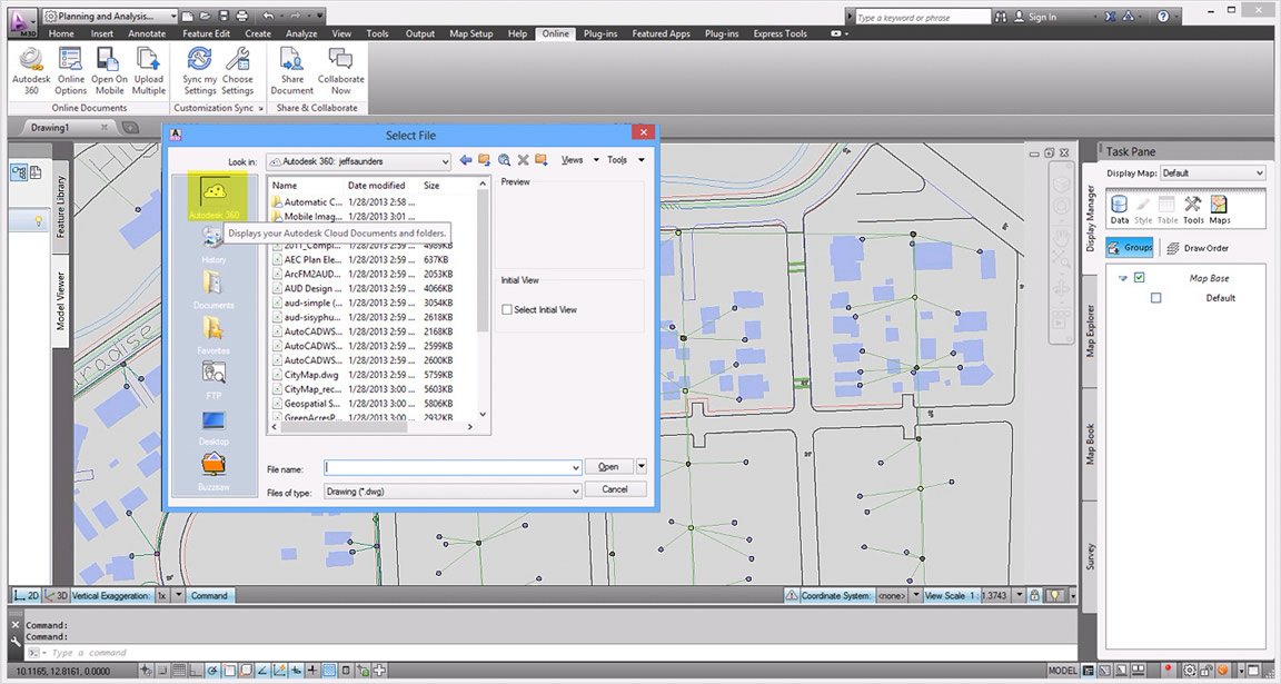
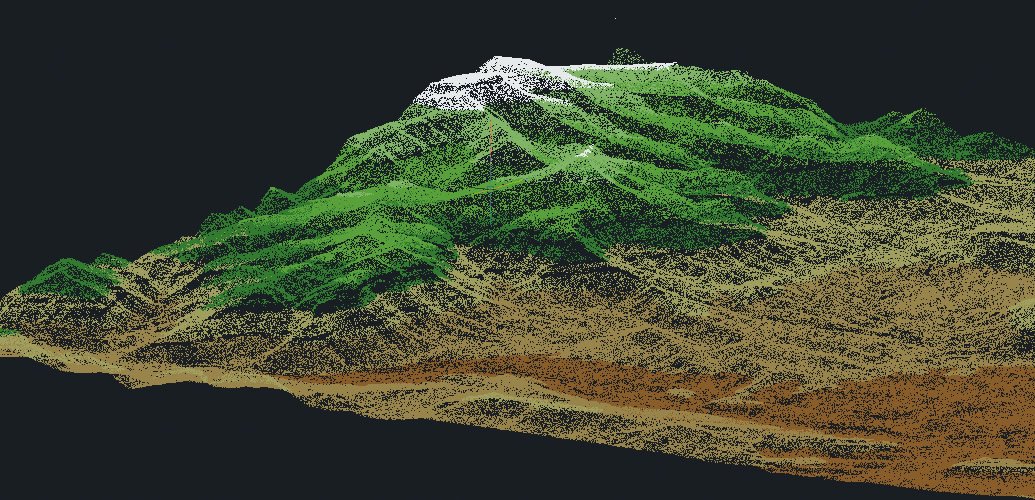
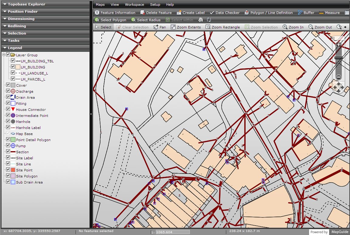
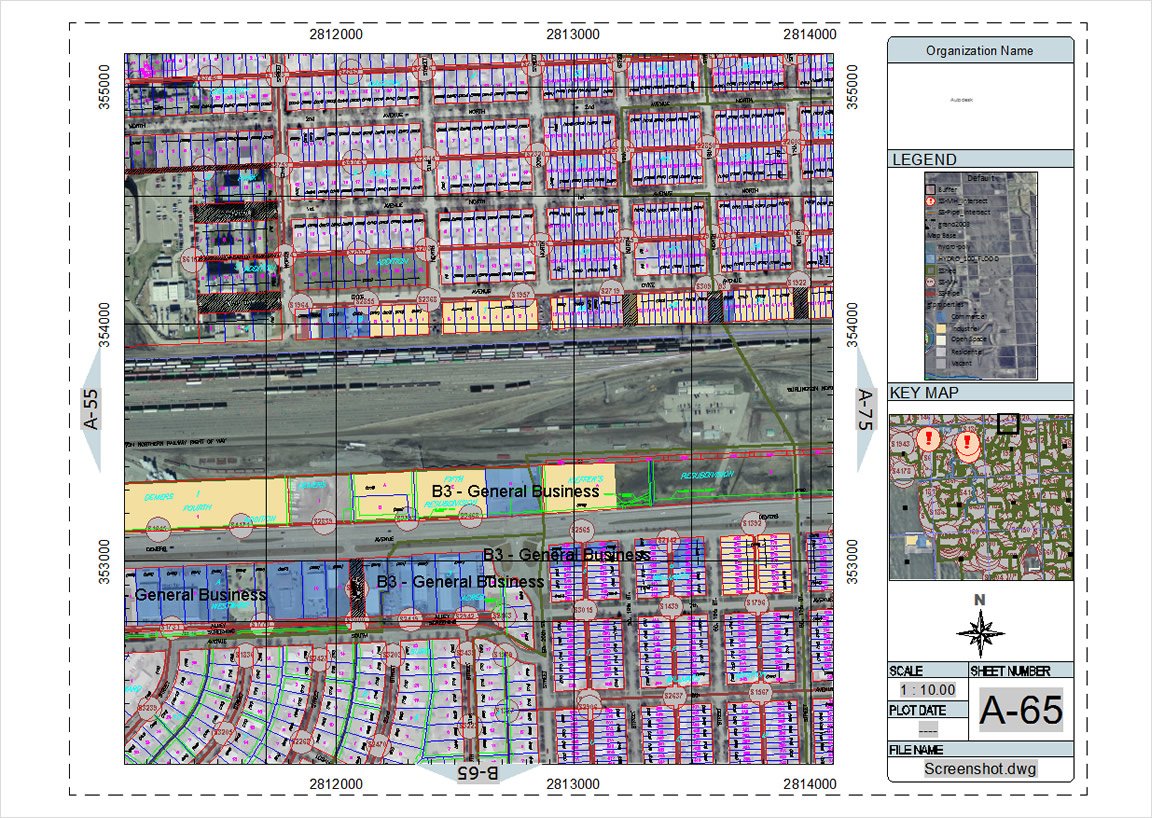
AutoCADВ® Map 3D software provides access to GIS and mapping data to support planning, design, and data management.
AutoCAD Map 3D
Images


AutoCADВ® Map 3D software provides access to GIS and mapping data to support planning, design, and data management.
Customer Reviews
Scott R.
Advanced user of AutoCAD Map 3DThere's an infinite number of features. You can do so much in AutoCAD - 3d sketches, 2d sketches.
Sometimes it's difficult to find the best way to complete a task. You can type commands or use the menus and sometimes it becomes overwhelming.
Great tool to export data to from ESRI Arc GIS if you're mapping. You don't have to start a project from scratch if you're adding on to something that was mapped in ESRI many years ago.