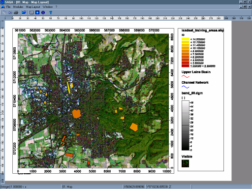
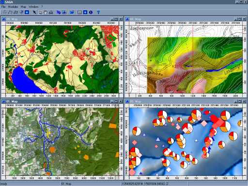
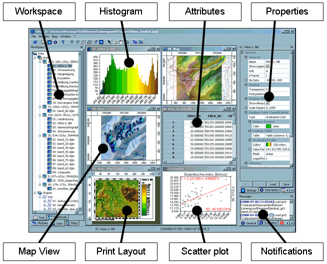
SAGA is the abbreviation for System for Automated Geoscientific Analyses. SAGA provides an easily approachable user interface with many visualisation options.
SAGA GIS
Images
Check Software Images


Customer Reviews
SAGA GIS Reviews
Eunice S.
Advanced user of SAGA GISWhat do you like best?
The amount of features available is enormous, you can use raster and spatial information from many formats, like the common shapefile, or even .tab files or files from Grass or similar software, you can open virtually any type of raster image, no matter the extension or the data, you have hundreds of options to visualize your data together or individually, the software runs smooth and the interphase is nice.
What do you dislike?
The only issue using SAGA is that every feature is open individually and that can be a little annoying if you need to see for sample an attribute table and at the same time the spatial features, in SAGA you cannot do this, every feature of the file has to be open in a new window.
Recommendations to others considering the product:
SAGA is an excellent option to manage and work with spatial data, as an open source software you can customized en the way you want and select the specific features that you need to get the most of it, but it can be a little difficult in the beginning because manage each feature window by window is a little annoying.
What problems are you solving with the product? What benefits have you realized?
Using SAGA we could build a new set of spatial information for our business where we put the data of our suppliers and buyers and we set the routes and the places that we can reach based in our location, this was an excellent way to improve our sells and search for a whole new set of suppliers for our business.


